Accurate measurement, reporting, and verification (MRV) is the backbone of credible carbon markets. Without reliable data, carbon credits risk being dismissed as “paper offsets,” undermining trust among buyers, investors, and regulators. Traditionally, MRV has relied on manual field surveys, self-reported data, and limited third-party audits—approaches that are costly, inconsistent, and often lack transparency.
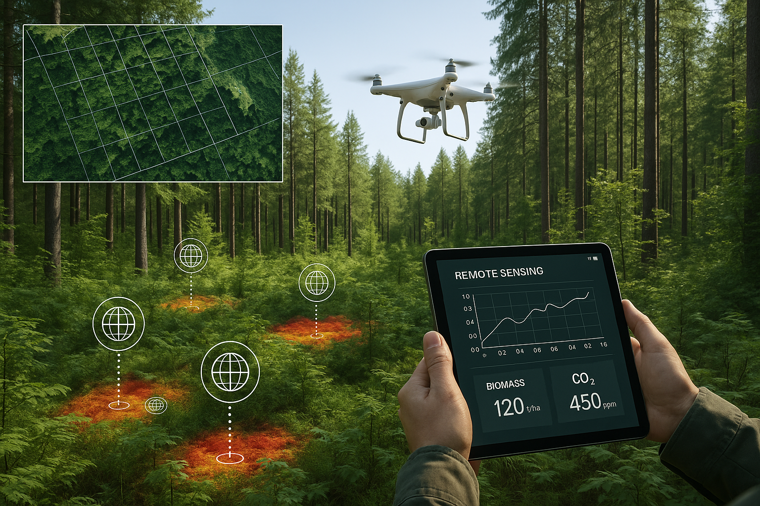
Enter remote sensing. By leveraging satellites, drones, and advanced imaging technologies, remote sensing is transforming how we monitor, measure, and verify emissions reductions and carbon sequestration. This shift is not only reducing costs but also enhancing credibility and enabling scale.
1. From Clipboards to Satellites: The Evolution of MRV
Early carbon projects depended on ground-based measurements, where survey teams would physically measure tree diameters, fuel consumption, or land-use patterns. While effective in some contexts, these methods are labor-intensive and prone to human error.
Remote sensing has changed the game by:
Providing continuous, large-scale monitoring of forests, agriculture, and land use.
Offering time-stamped records for verification over decades.
Reducing reliance on expensive and infrequent field visits.
2. Key Remote Sensing Technologies Used in Carbon MRV
1.Satellite Imagery High-resolution satellites can track changes in forest cover, land degradation, and reforestation at scale. Example: NASA’s Landsat and ESA’s Sentinel programs provide free, long-term data critical for carbon monitoring.
2. Lidar (Light Detection and Ranging) Lidar sensors on aircraft or drones can map forest canopy height and density, giving highly accurate estimates of biomass and carbon storage.
3. Multispectral & Hyperspectral Imaging These sensors capture subtle differences in vegetation health, allowing detection of stress, growth, or degradation before they’re visible to the naked eye.
4. Synthetic Aperture Radar (SAR) SAR is particularly useful in cloudy or tropical regions, where optical imagery may be limited. It penetrates cloud cover to track forest cover year-round.
3. Benefits of Remote Sensing in Carbon MRV
Accuracy: Objective, data-driven insights reduce reliance on self-reporting.
Cost Efficiency: Reduces the need for frequent, costly ground surveys.
Scalability: Enables monitoring across millions of hectares simultaneously.
Permanence Monitoring: Detects disturbances such as wildfires, illegal logging, or land-use changes in near real-time.
4. Case Studies in Remote Sensing for Carbon Monitoring
Forest Conservation Projects: Several REDD+ initiatives now rely on satellite imagery to measure avoided deforestation, ensuring credits reflect genuine conservation impact.
Mangrove Restoration: Remote sensing has been critical in tracking shoreline vegetation growth, verifying the sequestration potential of coastal ecosystems.
Agricultural Carbon Projects: Satellites monitor crop rotation and soil cover, ensuring regenerative agriculture projects can verify carbon sequestration in soil.
5. Challenges and Limitations
Despite its promise, remote sensing is not a silver bullet:
– Data Gaps: Free satellite data is often lower in resolution, while high-resolution imagery can be expensive.
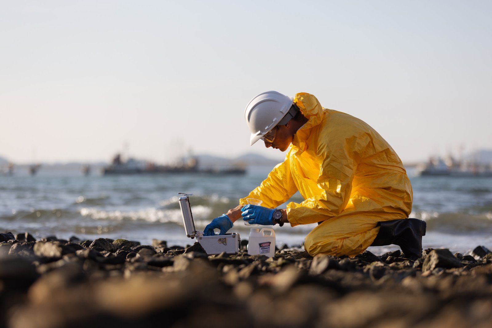
– Ground Truthing Still Needed: Remote sensing must be complemented by on-the-ground validation to ensure accuracy.
– Equity Concerns: Smaller project developers in the Global South may struggle to access costly technologies without support.
6. The Future: AI-Driven and Integrated MRV
The next frontier lies in combining remote sensing with AI, machine learning, and IoT sensors:
AI models can process vast datasets to detect changes faster and with greater accuracy.
IoT-enabled soil sensors can complement satellite data to measure carbon sequestration below ground.
Blockchain-based registries can integrate remote sensing data directly, ensuring real-time, tamper-proof MRV records.
Conclusion
Remote sensing is reshaping MRV from a slow, costly, and opaque process into a transparent, scalable, and science-driven system. While challenges remain, the integration of satellites, drones, and AI-driven analytics promises to make carbon credit validation more credible than ever before.
For carbon markets to thrive, stakeholders must embrace these technologies—not as optional add-ons, but as essential infrastructure. With remote sensing, the carbon market moves closer to delivering what it promises: real, verifiable climate impact.